
September 1, 2026
NEWSLETTER
Destination Earth: building a digital replica of our planet
As we wrote in our April newsletter, GeoKinesia launched the Global Ground Motion Service (GGMS) on the Destination Earth Platform. Since April, the service has attracted significant interest from many users worldwide, generating a large number of requests.
To ensure service quality during this initial test and validation phase, the current free-of-charge offering is limited to historical InSAR analysis covering up to one year of observations and areas not exceeding 250 km². Users requiring larger areas, longer historical periods or operational monitoring are encouraged to contact GeoKinesia directly for commercial service, which is available globally and without any limitations.
In the previous communication we focused on the launch of GGMS. This time, we would like to look at the broader initiative behind it: Destination Earth (DestinE) – one of the most ambitious digital infrastructure projects ever undertaken in Europe.
What is Destination Earth?
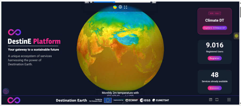
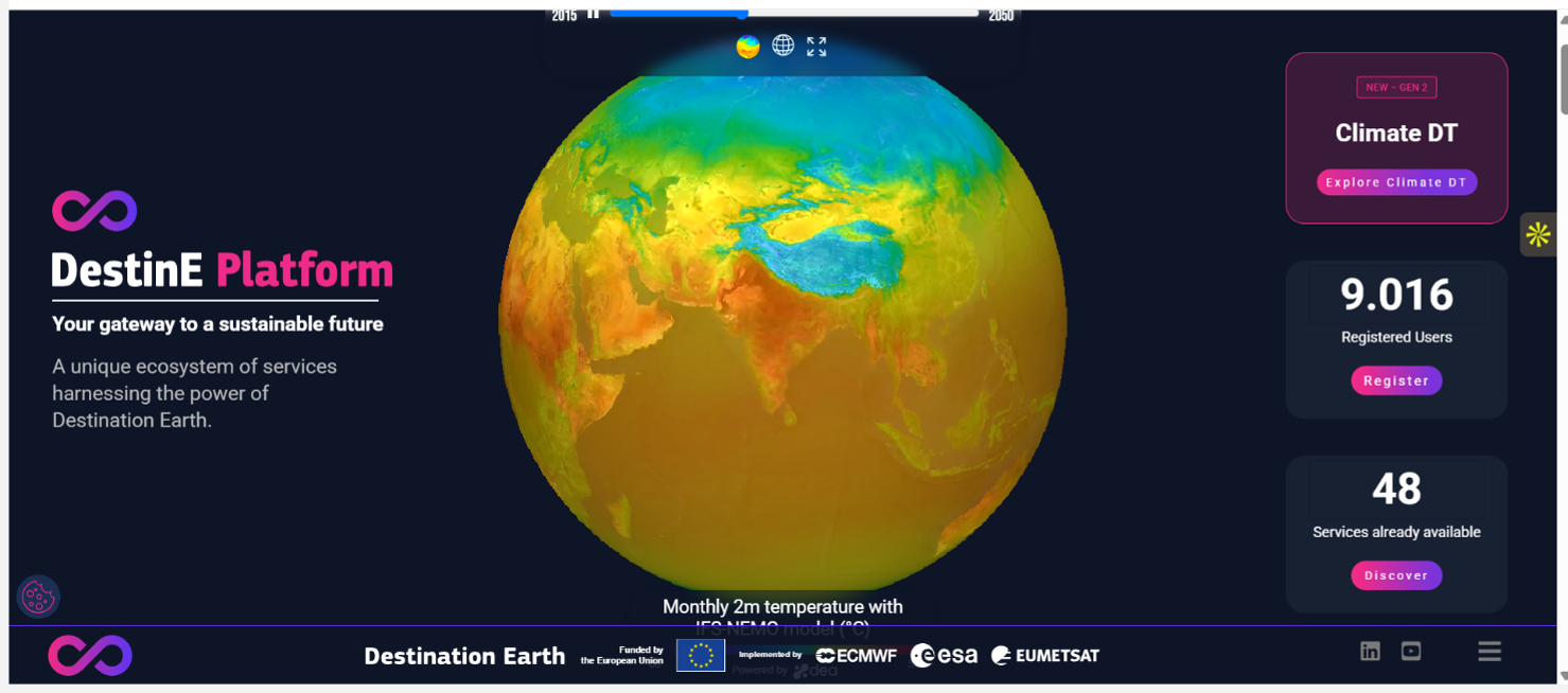
Destination Earth (DestinE) is a European Union funded initiative, with the aim to build a digital replica of the Earth system. Access Destination Earth at destine.platform.eu.
The initiative is jointly implemented by three entrusted entities:
- European Space Agency (ESA), responsible for building the ‘DestinE Platform’;
- European Centre for Medium-Range Weather Forecasts (ECMWF), responsible for the creation of the first two ‘digital twins’ and the ‘Digital Twin Engine’;
- European Organisation for the Exploitation of Meteorological Satellites (EUMETSAT), responsible for the creation of the ‘Data Lake’.
Together, these organizations are creating a new generation of digital infrastructure capable of combining Earth observation data, environmental models, high-performance computing and operational services within a common ecosystem.
The long-term vision is straightforward yet transformative: to create continuously evolving digital representations of environmental systems that can help scientists, governments, businesses and citizens understand the impacts of climate change and prepare for them through more informed, evidence-based decisions.
A Brief History of Environmental Modelling
The origins of modern environmental modelling can be traced back to numerical weather prediction in the 1950s. One of the first successful computer forecasts was produced in 1950 by a team led by Jule Charney and John von Neumann using the ENIAC computer. Since then, weather forecasting has evolved from continental-scale predictions with resolutions measured in hundreds of kilometres to operational models such as ECMWF’s Integrated Forecasting System, capable of producing global forecasts at resolutions below 10 km.
Hydrological modelling followed a similar trajectory. River basin models originally developed for water resource management gradually evolved into sophisticated flood forecasting systems such as the European Flood Awareness System (EFAS), capable of providing early warnings across major European river networks.
Climate modelling underwent an equally remarkable transformation. Early climate simulations focused primarily on atmospheric circulation and were seriously limited by available computational capacity. Today’s Earth System Models integrate atmosphere, oceans, sea ice, land surface processes, vegetation dynamics, carbon cycles and human influences, enabling scientists to investigate climate evolution decades into the future.
In this context, it is also worth mentioning the testimony of Dr. James Hansen, then Director of NASA’s Goddard Institute for Space Studies, before the U.S. Senate Committee on Energy and Natural Resources in 1988, which marked a turning point in public awareness of global warming and climate change.
Destination Earth, in this context, aims to bring together observations, simulations, high-performance computing and operational applications within a common environment. The objective is to move beyond isolated modelling systems towards continuously updated digital representations of the Earth system that can support both scientific analysis and operational decision-making.
Digital Twins: The Core of Destination Earth
The Digital Twins is the core of the Destination Earth system and represent a breakthrough in our understanding of how the Earth system will evolve. The DestinE twins complement existing prediction capabilities, support adaptation policies, as well as the implementation of the Green Deal.
The first two high-priority digital twins focus on weather-induced extremes and climate change adaptation. These twins will simulate the behaviour of our planet with unprecedented quality, at high resolution spatial scales, where the impacts of extreme weather and climate change are felt.
The digital twins combine several cutting-edge Earth system models and observations together with the most advanced digital technologies, machine learning and artificial intelligence, and are integrated with applications for the sectors most affected by climate change and extremes.
Digital Twins have 3 main features: quality, impact and interactivity.
Quality implies the provision of the detailed high-resolution information from global scale to local scale, based on accurate simulations performed with more Earth-system models and an enhanced observation-simulation fusion.
Impact means providing integrated Earth-system and impact sector information at the relevant spatial and temporal scales for environmental challenges.
Interactivity implies providing interactive access to models, data and workflows, based on the Digital Twin Engine and innovative cloud-based solutions.
Many environmental processes that drive impacts on society occur at local scales. Flood propagation, urban heat, coastal interactions, landslide triggering mechanisms and infrastructure vulnerability are all strongly influenced by local environmental conditions. Higher-resolution simulations provide a much better representation of these processes and therefore improve the ability to assess risks and evaluate mitigation measures.
The Role of the Data Lake
Supporting the Digital Twins is the DestinE Data Lake, a large-scale cloud-based infrastructure providing access to Earth observation data, model outputs and environmental datasets.
Modern environmental intelligence depends on the ability to access and combine enormous volumes of heterogeneous information. Satellite imagery, weather observations, climate projections, hydrological variables and environmental indicators all need to be available within a common framework.
The Data Lake provides precisely this capability, enabling observations and simulations to be connected and exploited across the entire DestinE ecosystem.
For service providers such as GeoKinesia, this creates exciting opportunities to combine ground deformation information with a much broader range of environmental variables than was previously possible.
The Role of the DestinE Platform
The DestinE Platform is the main access point to the Destination Earth system. It provides users with access to Digital Twin data, models and applications, helping transform complex environmental information into actionable insights. Beyond access to the Digital Twins, the platform is designed to foster a growing ecosystem of services developed by different organisations. These services can build on DestinE capabilities and data, while also integrating other digital twins, external data sources and user-provided information. This open and collaborative approach enables innovation and supports the development of solutions for a wide range of environmental and societal challenges.
Ecosystem of additional services (AAS)
Advanced Applications and Services (AAS) are designed to extend the DestinE Platform by onboarding existing operational services from external organisations.
Through this open call, ESA aimed to complement the platform’s core capabilities with specialised applications that can exploit DestinE data, models and services and translate them into practical solutions for end users. These services may address a wide range of domains, including climate adaptation, environmental monitoring, disaster risk reduction, agriculture, water management, energy, infrastructure and urban planning. By integrating operational services into the platform, AAS contribute to a more open and user-oriented DestinE ecosystem and help demonstrate the practical value of DestinE for real-world applications and decision-making. This ecosystem approach is one of the distinguishing features of Destination Earth. Rather than building a closed system, DestinE provides an environment where companies, research organizations and public institutions can develop specialized applications that complement the DestinE Platform’s core capabilities.
GeoKinesia’s Global Ground Motion Service (GGMS) is one such Advanced2 Service.
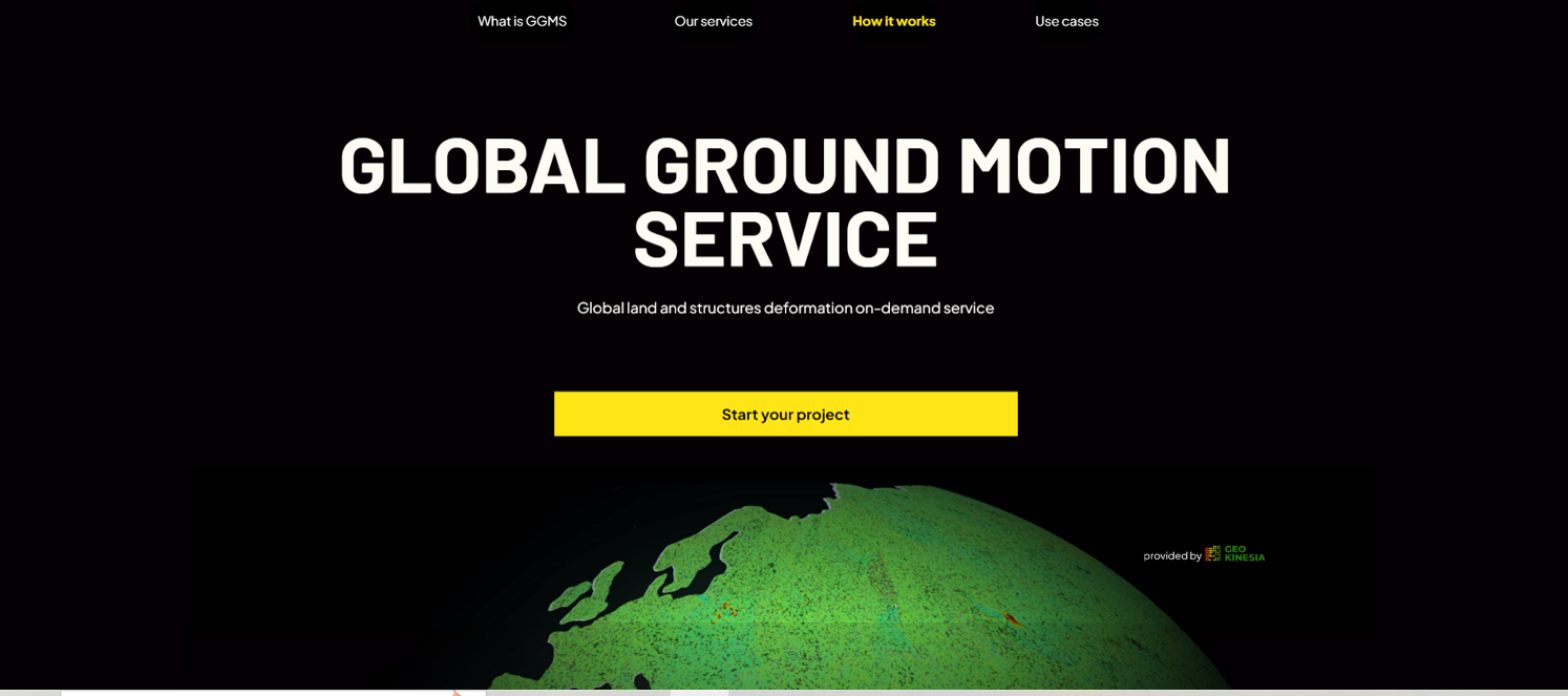
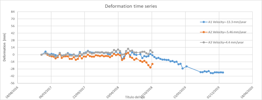
GGMS extends the DestinE ecosystem into the field of ground deformation monitoring, providing users with on-demand access to satellite-based InSAR analysis anywhere in the world. Through a simple web interface, users can request deformation studies, access historical analyses and investigate ground stability without requiring specialized processing infrastructure or in-house satellite expertise.
Looking Forward
Destination Earth started in 2021, but it already established a more integrated approach to understand the Earth system, helping Europe to better anticipate, prepare for and respond to the impacts of climate change.
GeoKinesia is proud to contribute to this ecosystem through GGMS and looks forward to exploring how satellite-based deformation monitoring, hazard forecasting and early-warning services can evolve within the DestinE framework.
The ability not only to observe environmental change, but ultimately to anticipate it, remains one of the most important challenges in Earth observation. Destination Earth provides a unique environment in which this vision can gradually become reality.
About Destination Earth (DestinE)
Destination Earth (DestinE) is a European Union funded initiative implemented by ESA, ECMWF and EUMETSAT. Access Destination Earth at destine.platform.eu.
Lorem ipsum dolor sit amet, consectetur adipiscing elit. Ut elit tellus, luctus nec ullamcorper mattis, pulvinar dapibus leo.