Civil engineering and construction
InSAR can be a strong enabler for geotechnical analysis and area stability control for civil engineering and construction projects
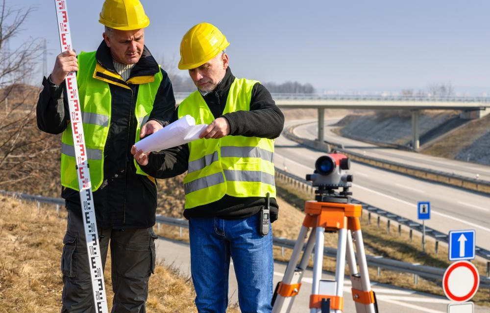
InSAR monitoring is applicable during various construction phases.
During the pre-design phase, InSAR can be used to identify and track the evolution of historical deformation events and perform quantitative and qualitative analyses of these events, which will affect the geotechnical and engineering designs and the site suitability analysis.
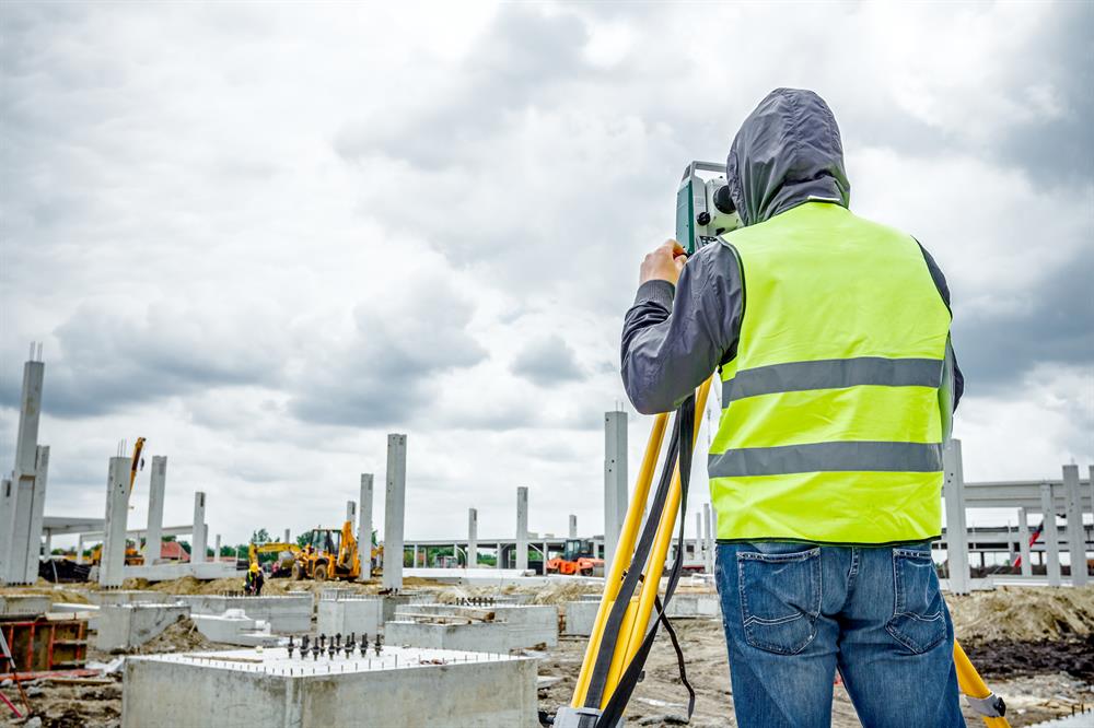
During the construction phase, InSAR can be used to monitor object stability. Excavation works and large object construction, leading to increasing and changing loads, often affect ground stability further away from the construction site and can’t be monitored with other techniques.
During the post-construction phase, InSAR can monitor subsidence or uplift in the immediate area and into a broader perimeter.
InSAR can be effectively used at the pre-design phase for a site suitability analysis. This is the only method which allows to establish if an area has been historically subject to deformations, which may affect geotechnical or engineering design, as well as perform the qualitative and quantitative analysis of these deformations.
Another problem, which can be effectively addressed by InSAR, is the post-construction subsidence monitoring. Subsidence is a normal process but it often also affects a wider area, where no sensors can be installed.
InSAR is also irreplaceable during the underground construction, when surface stability and stability of objects on the surface is a concern. This is especially critical in urban areas, where large underground construction projects, usually metro lines or tunnelling works, are undertaken.
GeoKinesia and CTTC provided wide areas monitoring services during the metro lines construction in Barcelona, Rome, Mexico city and other places while InSAR has also been used on the landmarks new metro lines construction projects in London and Paris as well as many others.