April 27, 2026
NEWSLETTER
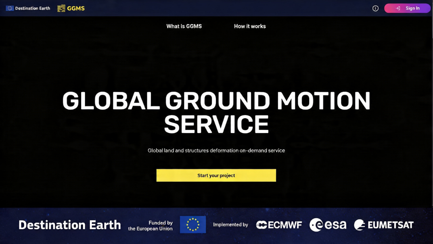
GGMS Launched on Destination Earth Platform

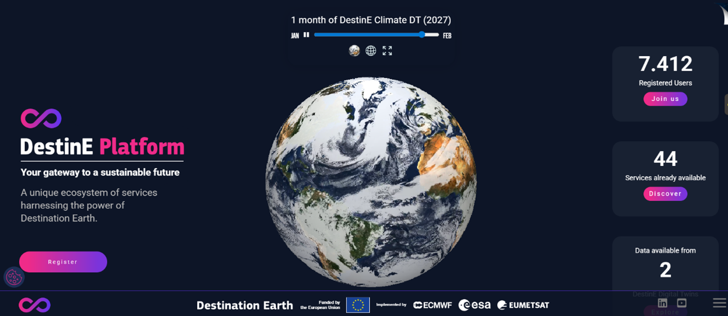
GeoKinesia is proud to announce the launch of GGMS (Global Ground Motion Service) on the Destination Earth Platform – Destination Earth is a European Union funded initiative implemented by ESA, ECMWF and EUMETSAT. Access Destination Earth at destine.platform.eu.
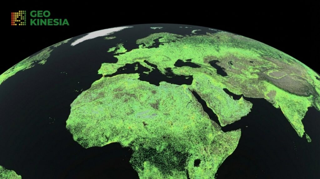
GGMS is an innovative platform-based InSAR ground deformation monitoring service, providing on-demand access to satellite-derived analysis at a global scale.
This marks an important step in making satellite-based ground deformation monitoring more accessible, scalable, and operationally usable for a broad range of users—from large infrastructure operators to smaller companies and project-based teams.
GGMS is a platform-based service developed by GeoKinesia, providing access to satellite-derived ground deformation information through a simple, on-demand interface.
The key innovation lies not only in the data itself, but in how it is delivered. Users can directly request deformation analysis through the DestinE Platform. With GGMS, users can:
– Select an area of interest anywhere in the world
– Request a deformation analysis directly on the platform
– Receive structured, decision-ready outputs within days.
What makes GGMS different:
– On-demand
– Global coverage
– No need for specialised infrastructure or in-house expertise
– Fast delivery of actionable outputs.
As highlighted in the launch campaign, GGMS is one of the first platform-based, on-demand global ground motion services available within the DestinE ecosystem.
Technological foundation
Interferometric Synthetic Aperture Radar (InSAR) is the underlying technology enabling precise, millimetre-level measurement of ground deformation over large areas.
It provides:
– Millimetre-level displacement measurements
– Wide-area deformation coverage
– Time series of ground motion.
GGMS builds on this technological foundation by transforming these capabilities into an accessible, operational online service that can be used without specialised processing infrastructure. In this sense, GGMS does not replace existing approaches—it extends access, making advanced satellite-based monitoring more flexible and scalable.
Complementary Tools: ADA and DDM
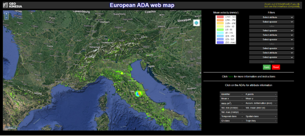
ADA (Active Deformation Area map) enables rapid identification of active deformation clusters across large datasets such as EGMS, supporting screening and prioritisation at scale.
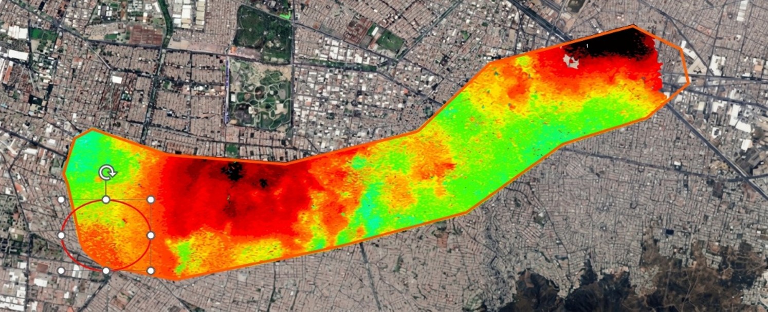
DDM (Differential Deformation Map) provides a unique capability to measure spatial deformation gradients affecting individual assets, helping assess structural stress and risk.
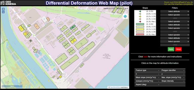
DDM is particularly relevant in contexts such as:
– Increasing urbanisation
– Underground water extraction and associated subsidence
– Soil swelling and contraction processes
– Complex deformation patterns affecting built environments
Together, GGMS, ADA, and DDM form a practical toolkit for engineers, risk professionals, and decision-makers working with land stability challenges.
GGMS within the DestinE Ecosystem
GGMS has been launched as part of the Destination Earth (DestinE) —a flagship European Union initiative aimed at developing a digital replica of the Earth system.
The initiative is implemented by:
– European Space Agency (ESA)
– European Centre for Medium-Range Weather Forecasts (ECMWF)
– European Organisation for the Exploitation of Meteorological Satellites (EUMETSAT).
DestinE focuses on advanced modelling and simulation of coupled Earth-system processes, with initial digital twins addressing in particular:
– Climate change adaptation
– Weather-induced and hydrological extremes
These digital twins integrate atmospheric, hydrological and climate processes to support prediction, simulation and scenario analysis across different temporal and spatial scales.
Alongside the digital twins themselves, the DestinE Platform supports an ecosystem of additional services. Within this environment, service providers such as GeoKinesia deliver operational tools that complement the digital twins and make Earth system information accessible to end users.
Why GGMS in DestinE Matters
GGMS specifically introduces an additional and essential dimension: systematic monitoring of land surface behaviour. This is particularly relevant in the current context, where ground deformation patterns are becoming more complex, less predictable, and increasingly influenced by climate-driven processes. By introducing land deformation monitoring into the platform, GGMS contributes to a more complete understanding of environmental dynamics.
One of the key advantages of being on the DestinE Platform is the ability to analyse ground stability in a broader environmental context.
In practical terms, this means that deformation patterns can be interpreted in relation to:
– Extreme rainfall events
– Flood dynamics
– Soil moisture variations
– Long-term climatic changes.
This perspective is critical for understanding not only where deformation occurs, but why it develops and how it evolves over time.
From Data to Decision
Perhaps most importantly, GGMS represents a shift in accessibility.
Advanced satellite-based deformation monitoring is no longer limited to large-scale, specialised projects. By being available as a platform-based, on-demand service, GGMS opens access to:
– Smaller companies
– Local infrastructure operators
– Project-based users
– Organisations exploring deformation monitoring for the first time.
This shift supports the transition from data availability to actionable insight, enabling more informed and timely decisions across infrastructure, energy, and environmental applications.
For more information about GGMS and its availability on the DestinE Platform:
Destination Earth (DestinE) is a European Union funded initiative, with the aim to build a digital replica of the Earth system. The initiative is being jointly implemented by three entrusted entities: the European Space Agency (ESA), responsible for building the ‘Core Service DestinE Platform’, the European Centre for Medium-Range Weather Forecasts (ECMWF), responsible for the creation of the first two ‘digital twins’ and the ‘Digital Twin Engine’, and the European Organisation for the Exploitation of Meteorological Satellites (EUMETSAT), responsible for the creation of the ‘Data Lake’. Access Destination Earth at destine.platform.eu.
Lorem ipsum dolor sit amet, consectetur adipiscing elit. Ut elit tellus, luctus nec ullamcorper mattis, pulvinar dapibus leo.